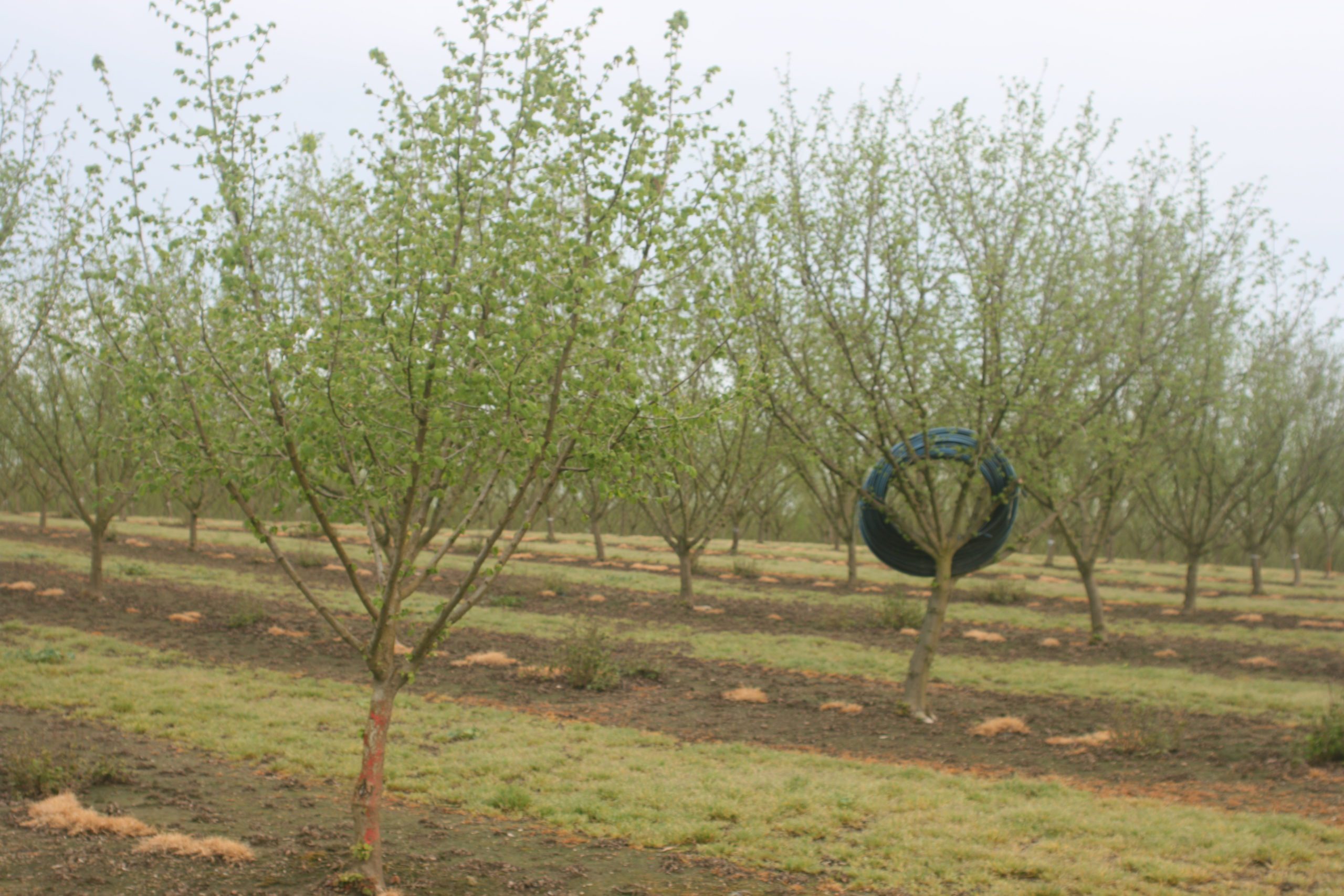
Pest and plant models, including UC-recommended degree day models, are available at the www.ipm.ucdavis.edu/weather.
There are models for all the key tree nut pests including codling moth, navel orangeworm and peach twig borer. Growers and farm managers can use this collection of weather data and models to make management decisions on pest and disease control to either save money on production costs or justify the expense of an application.
Growers may also find value in historical data on the site as they compare year-to-year pest and disease management decisions.
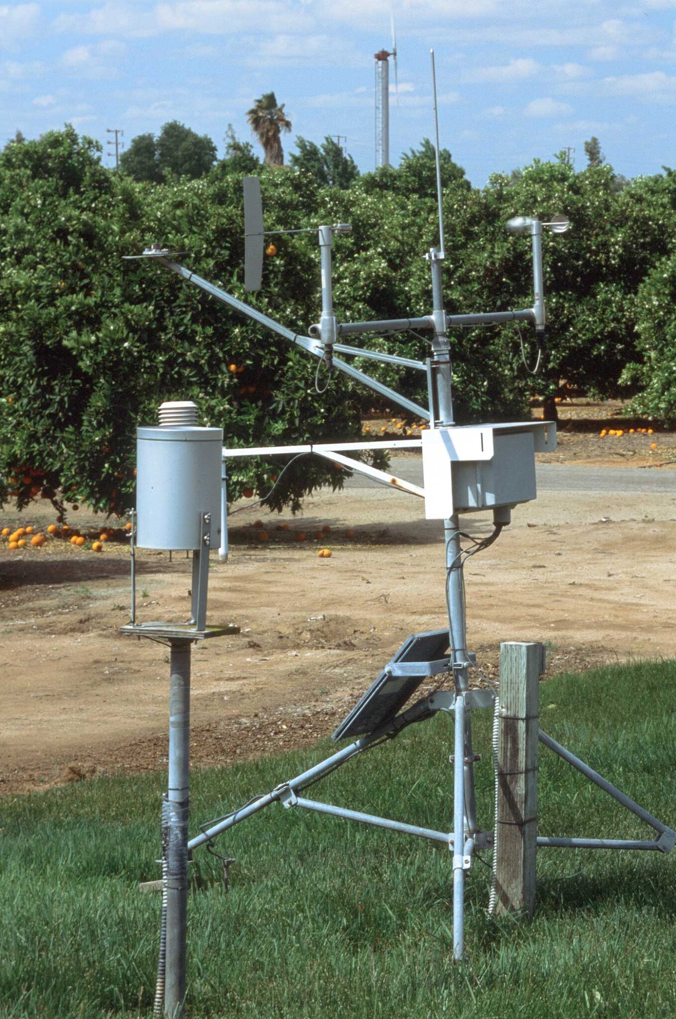
Scope of the weather data available from the University of California Integrated Pest Management site includes daily air and soil temperatures, wet and dry bulb temperature, humidity, precipitation amount and kind, and leaf wetness duration. The site collects weather data from approximately 400 weather stations throughout California, allowing for growers, managers and PCAs to make decisions based on conditions at specific sites. The California Irrigation Management Information System (CIMIS), which was developed by the Department of Water Resources (DWR) and UC Davis, is a unit of the DWR that manages the automated weather stations in California.
The weather database stores current and past data. Current data are supplied by “automatic” “TouchTone” and “PestCast” stations. The automatic stations are microprocessor-based, part of the CIMIS Network operated by DWR. These stations supply current daily values for several agriculturally important variables. DWR provides the information to UC IPM. TouchTone stations provide current weather data from agricultural locations. Volunteers record observations daily and transmit them to the UC IPM computer. PestCast stations provide current weather data monitored inside crop canopies in several research and extension networks. These stations also supply hourly or more frequent data that are collected automatically on a daily basis.
CIMIS was initially designed to help agricultural growers develop water budgets for determining when to irrigate and how much water to apply, but the user base has expanded over the years. Current CIMIS data users include landscapers, local water agencies, fire fighters, air control board, pest control managers, university researchers, schoolteachers, students, construction engineers, consultants, hydrologists, government agencies, utilities, lawyers, weather agencies and many more.


