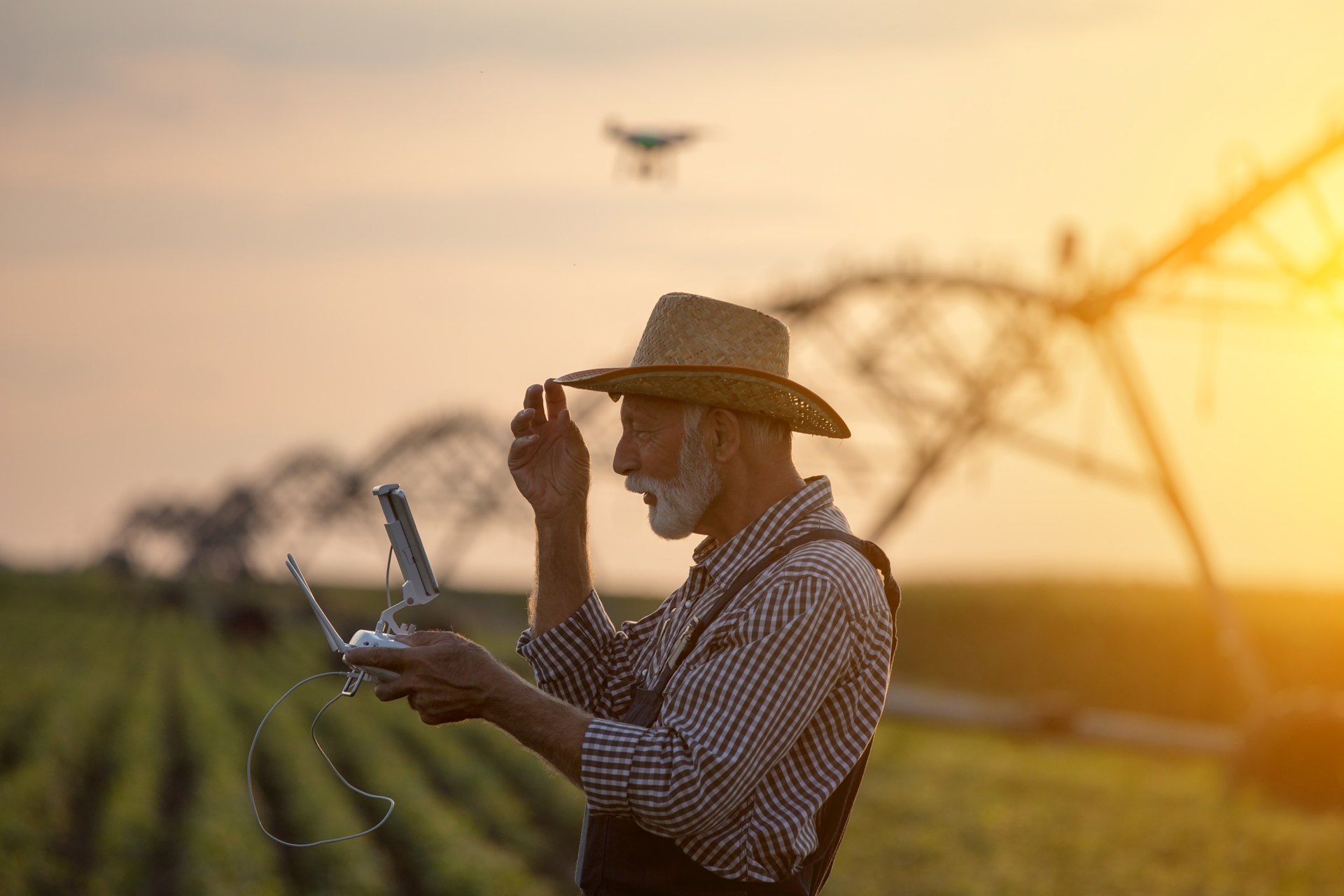
Growers have put ‘boots on the ground’ for generations to visually inspect their fields and orchards. With the advent of unmanned aerial vehicles that carry infrared cameras, growers now have the opportunity to view real time orchard and field conditions on their phones and make management decisions to improve crop health and production.
Dr. Gregory Kriehn, California State University, Fresno, engineering professor and speaker at the Walnut Day in Visalia, said use of unmanned aerial vehicles or drones is becoming more common in agriculture as growers are seeking more precision in application of water, nutrients or pesticides. California farms, which produced 13 percent of U.S. farm dollars, rely on about 20,000 drones to assist with management decision and one in 10 California farmers use drones to help with management decisions, mostly in higher value permanent crops, Kriehn said.
For perspective, last year there were 9,000 registered unmanned aircraft systems in the United States. Of that total, nearly half were used in real estate and aerial photography. Industrial inspections were the second highest use at 28 percent. Agriculture accounted for 17 percent of unmanned aircraft use.
Multispectral images of an orchard do not relieve a grower or farm manager from ‘boots on the ground’ responsibilities but can show trends as they develop for further investigation. For instance, Kriehn said, multispectral imaging identifies plant stress, but gives no indication of the cause. That is why visual inspection is still important, as well as multiple sets of good data. Extracting useful information from the multispectral images involves Machine Learning Algorithms, or MLA. Given the proper criteria, MLA can interpret the images to produce patterns of plant behavior. Multiple runs of data can increase the accuracy of the information. With more data, the algorithms can offer increased probability and create a model that can be compared with visual inspection.
Using the Data
Transforming raw data from the images into actionable information is at the heart of the value of this technology. The information can allow growers to make management decisions for pest control, irrigation, and nutrition. Benefits include more efficient use of spray applications, fertilizers and water. Over large areas, the images can determine tree populations or spacing, canopy variation, and harvest timing.
Integrated unmanned aerial vehicles are both rotor and fixed wing. While the public is primarily familiar with the rotor type, Kriehn said that the slower moving, large wingspan drones are more often used to capture images due to their stability. In addition to carrying camera systems, the drones are directed with flight control software to fly desired routes.
Images from a camera-equipped drone can provide a big picture of what is happening on a piece of land. Multiple images taken over time can show emerging trends in an orchard.
Going deeper than aerial photography, camera use in agriculture involves multispectral imaging. Multispectral imaging technology uses green, red, red edge and near infrared wavebands to capture images of crops and vegetation. These spectral bands show the reflectance of light by vegetation. Every surface reflects back some of the light that it receives. Different surface features of plants reflect or absorb the sun’s radiation in different ways. The ratio of reflected light to incidental light is known as reflectance and is expressed as a percentage. In his presentation, Kriehn said that reflectance depends on the time of day the images were taken.
Normalized Difference Vegetation Index Imaging shows the difference between near infrared and red band spectra. This provides a plant ‘greenness’ index and measures photosynthetic activity. Potential uses are evaluation of canopy coverage, long term growth trending, frost damage detection, large-scale pest outbreaks, biomass production and soil moisture. Normalized Difference Red Edge Index Imaging is the difference between near infrared and red edge band. This measures canopy reflectance and potential uses include optimizing harvest time, hull split in almonds, sugar content in grapes, crop stress and pest infestations.
Using multispectral imaging as a complement to field scouting to pinpoint specific trouble areas, a nut grower, for instance, has the opportunity to determine, based on early trends supplied by the images, changes in orchard health that would have gone undetected for a longer period.


